Masterplan W
Finalist Competition Entry for Matiatia's New Transport Hub in Waiheke Island - New Zealand
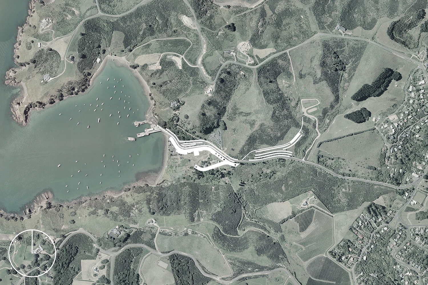
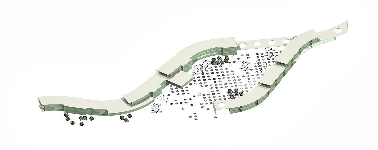
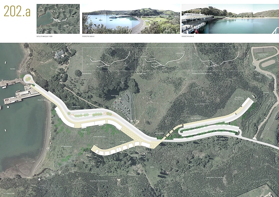
The competition "A Vision for Matiatia" was organised by Auckland Council to explore design ideas to transform the existing ferry terminal and transport hub into a memorable point of arrival to Waiheke Island. Open Studio's proposal is based on one exceptionally long building that orders the site into 3 discrete zones: a transport hub, a public open space and a long-term carpark
System
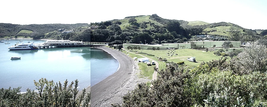
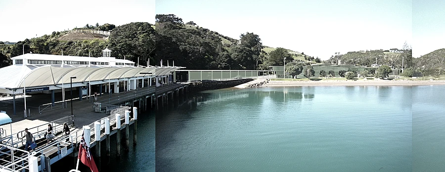
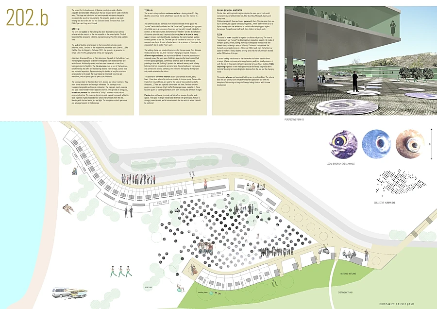
The form and location of the buildings has been designed to create a linear scheme with the majority of the site accessible to the general public. The built footprint of the proposal is 4,300m2, representing only 6% of the total available area. The scale of buildings aims to relate to the transport infrastructure scale (wharves, roads...) and not to the neighbouring residential fabric (Oneroa...). Like the Plan Obus for Algiers (Le Corbusier 1931), the geometry is generated by simple rules of traffic, geographical setting and topography. A standard dimensional frame of 15m determines the depth of the buildings. Two interchangeable typologies have been investigated: single loaded corridor and vertical cores... The buildings relate to the site in their form, location and colour treatment. They avoid formal articulation and nostalgic references. The buildings are as transparent as possible and neutral in character. The materials, mainly concrete and glass, are borrowed from the adjacent wharves. They provide an ambiguous, evanescent presence that establishes a "bridge" between the natural and constructed setting. The concrete elements provide a visual framework, while the large expanses of glass facade borrow colour and luminosity from the site, blending with the local water, sky and light. The occupants are both spectators and active participants in the landscape
Terrain
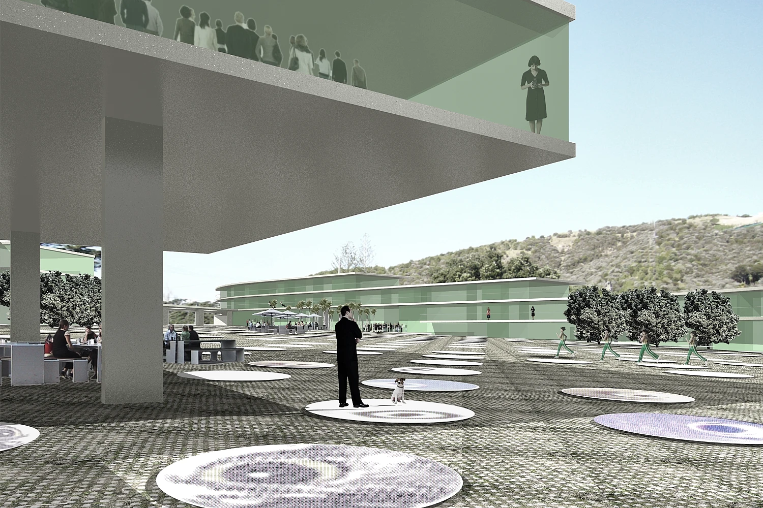
The terrain is interpreted as a continuous surface; a sloping plane of 1-2deg, ideal for concert-type events which flows towards the sea in the manner of a river. The scheme avoids the premises of the two main models of free space: the "square" (with strict boundaries) and the "urban park" (green-zone, an aggregate of ineffable events, a succession of surprises and marvels). Instead, it looks for a solution to the relatively new phenomenon of "freedom" and the diversification of intensive potential uses. It aspires to become a place to be used in many ways. It remains neutral and flexible, maintaining the most important qualities currently present on the site. The new space is conceived as a structure of fixed rules and open forms. It is not a finished work; it is an attempt to "anticipate the unexpected" akin to Cedric Price's work. Two alternative pavement materials (to the usual choices of stone, sand, lawn...) have been selected to reinforce the idea of the open space. Rubber slabs (made from recycled tyres), are used for the areas of heavy pedestrian traffic (footpaths...). These are especially comfortable and silent. Pervious concrete pavers are used for areas of light traffic (flexible open space, carparks...). These have the quality of blending seamlessly with lawn avoiding the definition of edges
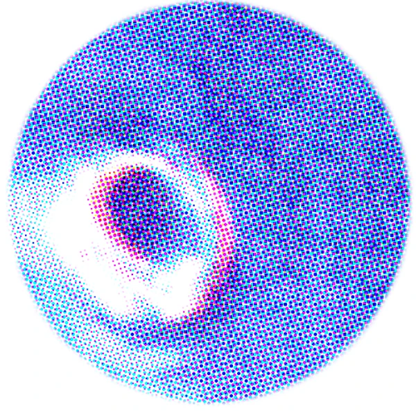
Fauna Benigna Matiatia
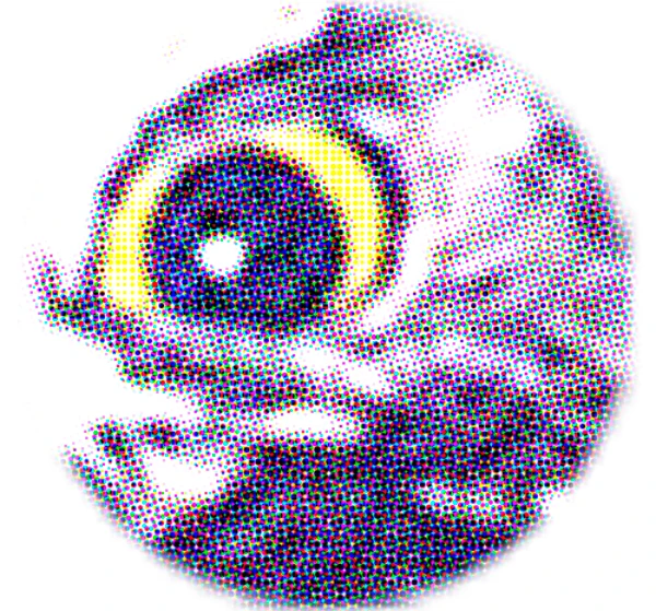
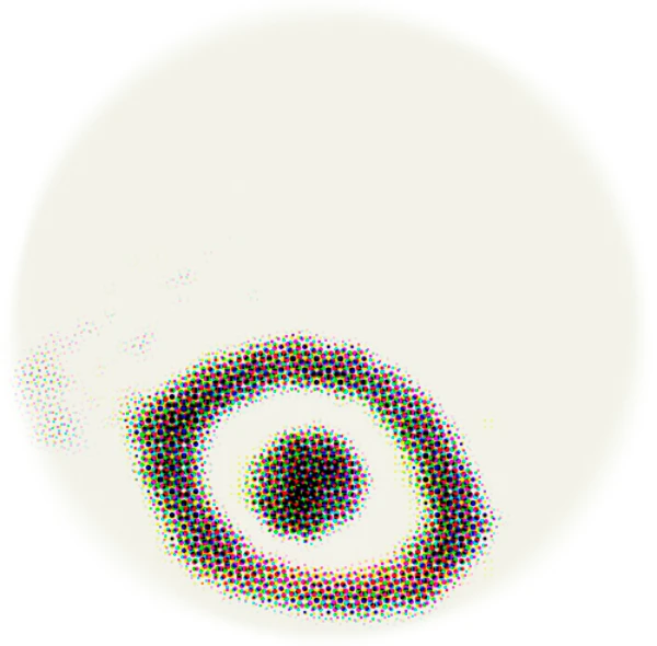
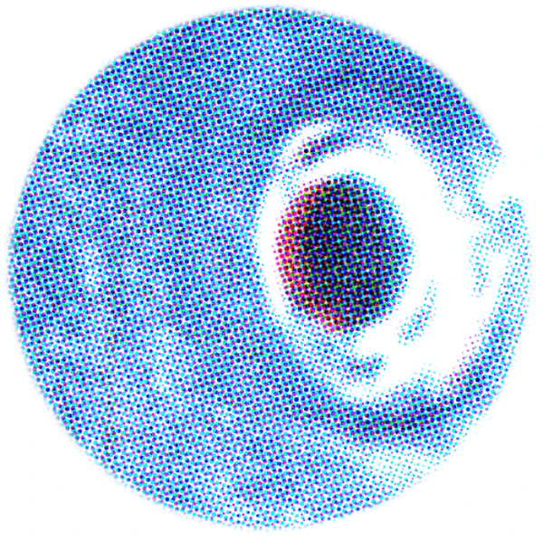
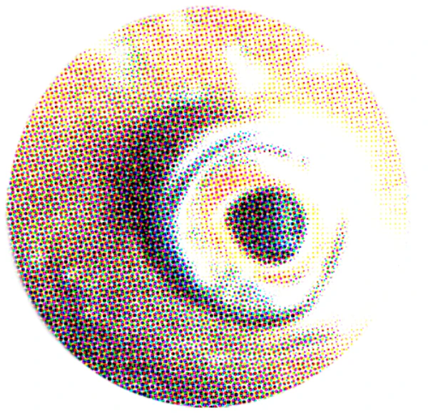
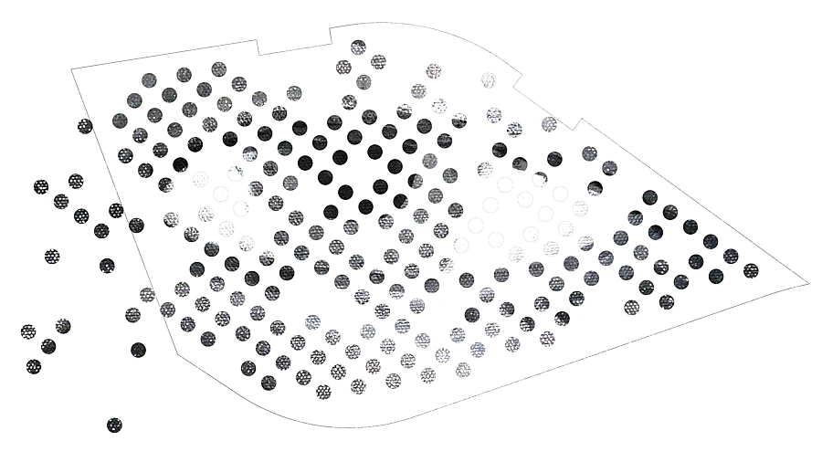
Circular slabs with imprinted images colonise the open space. Each rondel contains the eye of a Black-billed Gull, Blue Mao Mao, Morepork, Spotty and many more...Children can identify these and invent games with them. They can jump from one eye to another, be supplied with colouring charts... When seen from the air or a higher vantage-point the whole area of rondels collectively suggests a giant human eye. This will reveal itself to all, from children to Google-earth
Flow
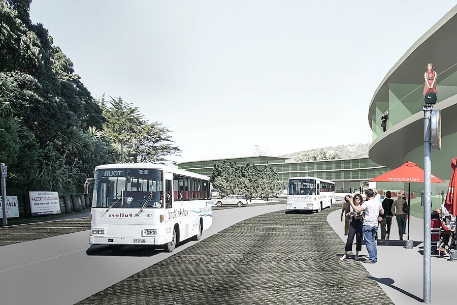
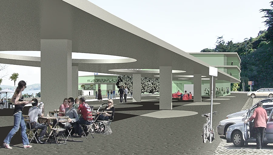
The model of street is applied to organise circulation and parking. The street is "compressed" and "curved" to obtain optimum carparking capacity. All modes of transport (public, private, cycling, walking) are integrated with activities and slowed down, achieving a sense of urbanity. Continuous canopies over the footpath protect pedestrians on a 10-minute (700m) walk from the farthest car space to the ferry. Buses, disabled parking, taxis and drop-off points are located within 200 metres of the pier. A second parking area located on the Owhanake site follows a similar linear strategy. It has a continuous path/canopy/retaining wall that visually connects it with the rest of the project and has the potential to house future facilities...
Program
The proposed program intends to achieve a socially sustainable demographic which will evolve in a balanced manner over time:
- Building A contains tourism related hospitality and retail (hotel reception, restaurant, cafes, newsagent & general store...), transport related tenancies (transport information, car hire...), hotel and conference facilities
- Building B could potentially include, a fitness centre, sport/beach related retail (bike, canoe hire...), casual cafes and serviced apartment accommodation. The fitness centre could be operated by the Council reinforcing the public nature of the site
- Building C contains an environmental education centre exhibiting the development and its activities. Regular educative site visits for primary and secondary schools have the potential for incorporating the Owhanake wastewater treatment plant as part of the tour. This educational facility could expand in the future, if the need for long-term car parking diminishes…
Bioclimatic Principles
The proposal follows bioclimatic principles of energy self-sufficiency while requiring minimal technical devices. The buildings are designed to: be energy self-sufficient for climate control; provide 100% fresh outside air; avoid the need for mechanical air handling systems; and have an independent water supply by harvesting rain water. The project takes into account the long-term return on investment rather than just the initial project cost. Traditional passive solutions are used for the climate control of individual spaces. Solar orientation maximises the harvesting of energy. The energy is stored via exposed building components of high density with good thermal mass. Overhangs and louvres provide shading in summer. An additional seasonal storage system is proposed to balance seasonal variations in energy availability. A constructed earth reservoir located under the public open space can provide that function. The energy is distributed via building core activation: thermally activated concrete floors and ceilings with embedded pipes...


Project Data
| Design: | 2007 |
|---|---|
| In Collaboration with: | Caroline Williams (Visual Artist) |
| Competition Organised by: | Auckland Council |